
My Favorite Hikes in South Lake Tahoe (Best in Spring!)
Most people visit Lake Tahoe in the winter to go skiing or in the summer to swim in the water, but my personal favorite time of year in Lake Tahoe is the spring. And spring means hiking!
Our last trip to Tahoe in March was supposed to be a winter trip, but it ended up being way warmer than expected. I’m talking highs in the 70s!
So, we pivoted – instead of hitting the slopes, we decided to hit the trails instead!
These were our favorite hikes we conquered in springtime in Lake Tahoe, as the snow was melting and the weather was starting to warm up. The views at all of these were sublime!
Eagle Falls Viewpoint
📍 Location: Emerald Bay State Park (Highway 89)
🥾 Length: No length – just a viewpoint!
⛰️ Difficulty: Easy
🗺️ Google Maps Link
No hike confused me more than Eagle Falls before we visited. I had seen pictures of the falls from the road, but then saw multiple hikes named Eagle Falls too.
So, let me try to explain for you!
Eagle Falls is a multi-tiered waterfall in Emerald Bay State Park on the west side of South Shore. The waterfall itself is extremely long, so there are multiple places and hikes to see different portions of it.
The most popular spot to see it requires no hiking at all! Amazing, I know.
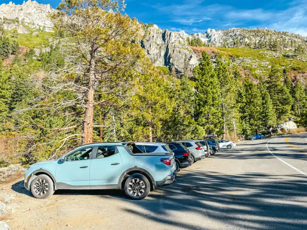
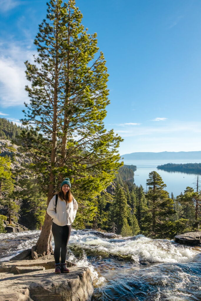
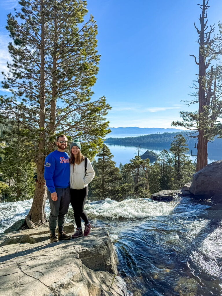
Just drive to this viewpoint and park in the designated street parking (image above). Right across from the parking spots, you’ll find Eagle Falls cascading down the side of the mountain with the spanning vista of Emerald Bay in the background.
There’s a small footpath here where you can reach the top of the waterfall and snag a picture like the ones below!
And if you want more views of Eagle Falls, keep reading.
Vikingsholm Trail to Lower Eagle Falls
📍 Location: Vikingsholm parking lot, Emerald Bay State Park (Highway 89)
🥾 Length: About 2 miles round trip, ~400–500 ft elevation gain
⛰️ Difficulty: Moderate
🗺️ All Trails Link
If you’re visiting the Eagle Falls viewpoint I covered above, you should also add the hike down to Vikingsholm and Lower Eagle Falls to your day, since they are all right next to each other.
The hike down into Emerald Bay, which ends at Vikingsholm Castle (hence the name) is one of the most popular hikes in the area, so make sure to get an earlier start!
You can either park in the street parking next to the Eagle Falls viewpoint or there is designated paid parking at the trailhead itself, also named the Emerald Bay State Park Lookout.
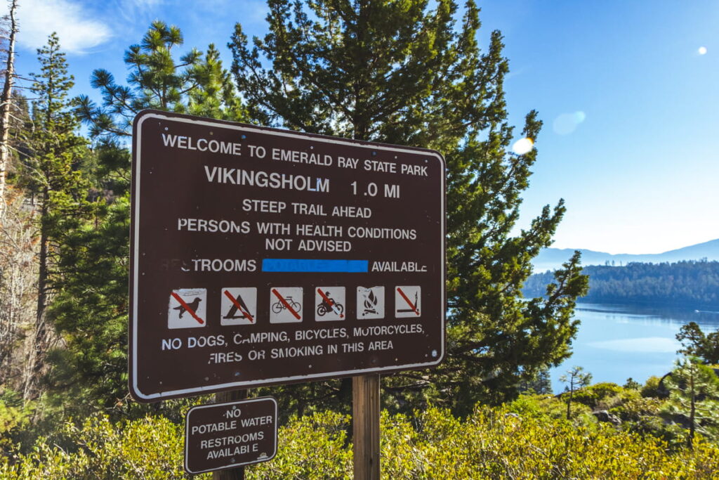
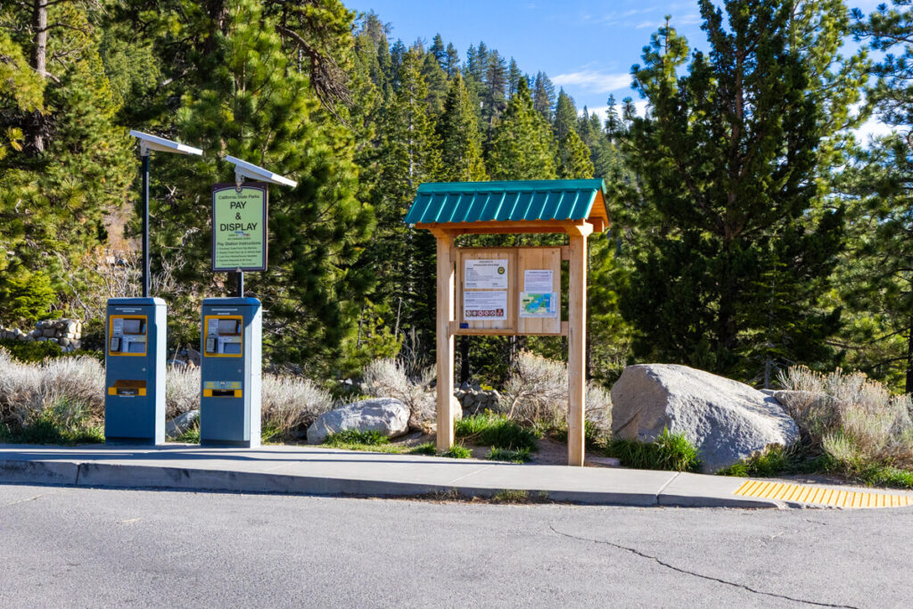
Both areas fill up very quickly, so make sure to get here first thing in the morning!
The hike down to Vikingsholm Castle and Emerald Bay is about 1 mile. It was steep in some places but nothing crazy. The trail was also well maintained, a mix of gravel and hard-packed dirt, and no snow compared to other areas higher up on the mountain.
The way down was a breeze since it’s all downhill, but we did have to stop a few times on the way up to catch our breath!
The views along the way as you wind down into the bay were absolutely unbelievable. We stopped several times to say “WOW” and take photos because it looked like a postcard.
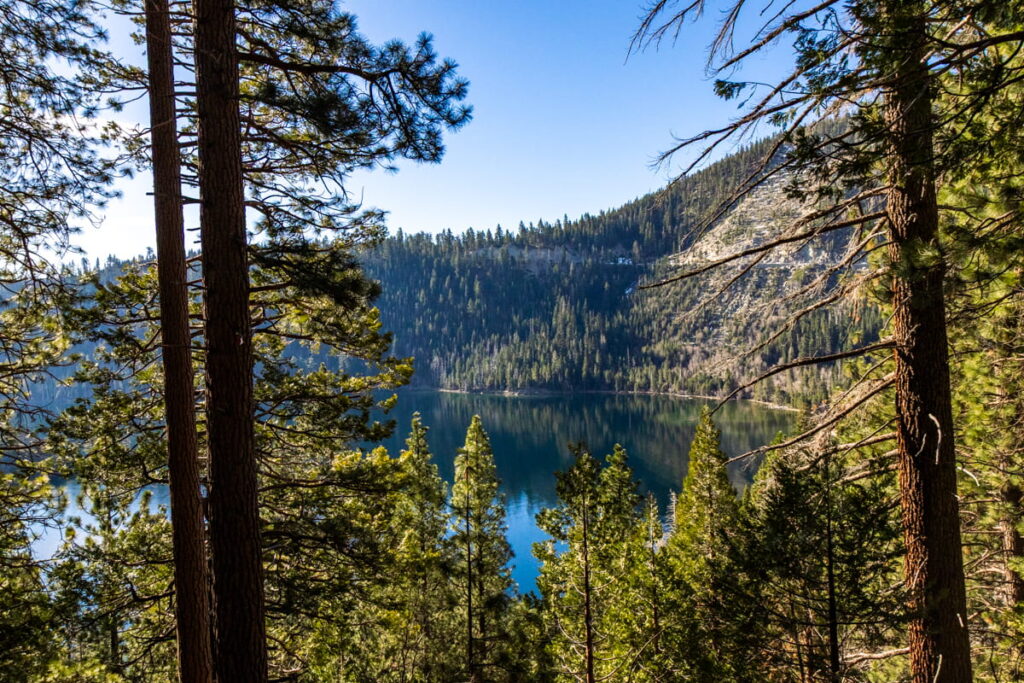
You’ll also get more views of Eagle Falls along the way in the distance.
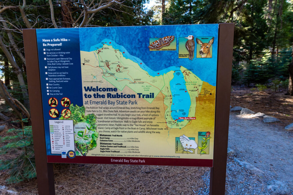
Once you reach the bottom, you can explore the different areas around the lake. Here you’re actually on part of the Rubicon Trail, which continues along the lake in both directions.
(If you have more time in the area, other great hikes starting from Emerald Bay are north to D.L. Bliss State Park or south to Eagle Point).
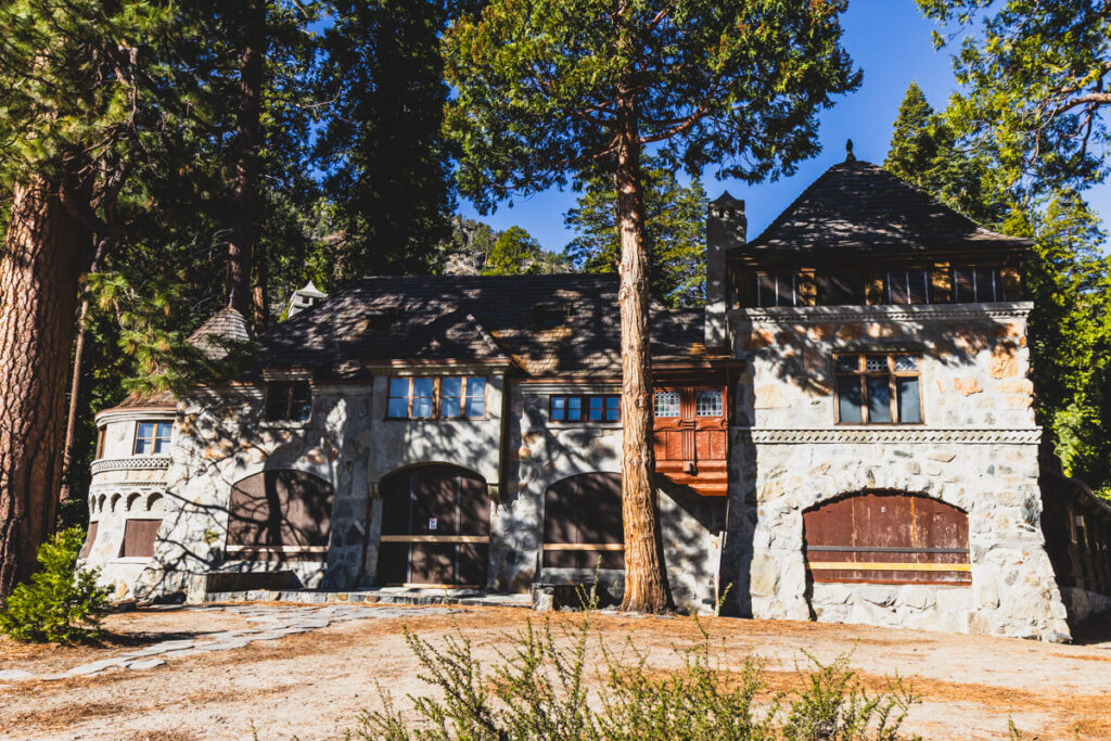
The most popular spot within Emerald Bay is the Vikingsholm Castle, which was built as a summer home in the 1920s. The woman who owned the home said the Bay reminded her of fjords in Scandinavia, so she built a Swedish-inspired castle here!
During the summer months (Memorial Day – Labor Day), you can actually go inside the home on a guided tour. However, we did this hike while visiting Lake Tahoe in March, so the inside was not open!
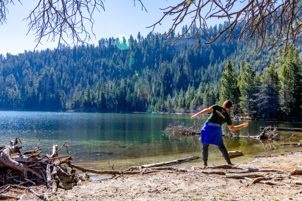
Besides the Castle, we very much enjoyed taking in the beautiful views of Emerald Bay and the lake from the beach. Of course, my husband had to skip some rocks here too.
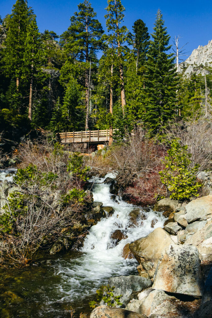
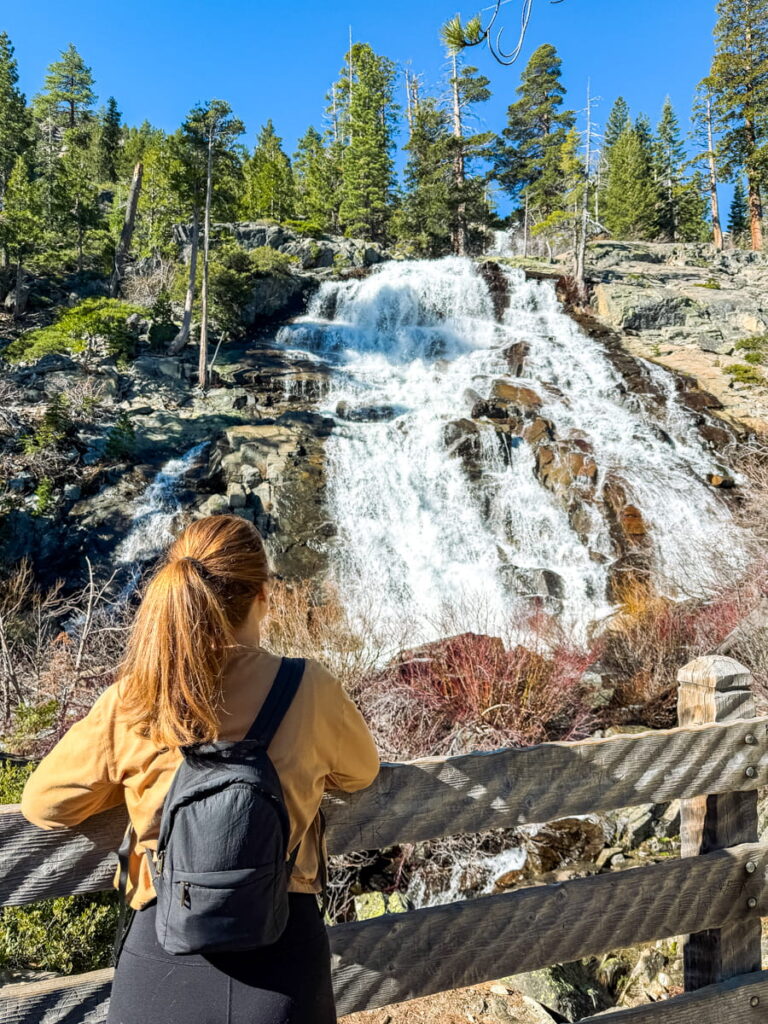
If you still have some energy, this is where you can continue your hike to see Lower Eagle Falls. The end of the falls is not far from the lakefront, or you can continue climbing back up on a rocky footpath to see another cascading waterfall like the one by the road!
We actually thought we had reached the end when we came to the bridge crossing the falls (left photo), but a nice local told us to keep climbing up for even more impressive views (right photo).
Eagle Lake
📍 Location: Eagle Falls Trailhead, Emerald Bay (off Highway 89), South Lake Tahoe
🥾 Length: About 2 miles round trip, ~450 ft elevation gain
⛰️ Difficulty: Moderate
🗺️ All Trails Link
Eagle Lake is another hike you can conquer in the Emerald Bay Area and might have been my favorite from our trip to Tahoe.
In fact, we completed this hike after our hike down to Vikingsholm & Lower Eagle Falls since we already had a parking spot and it was only 10:00am when we finished the first hike.
Just behind the street parking for the Eagle Falls lookout is the starting point for both Eagle Lake and the Upper Eagle Falls Loop.
We decided to conquer the lake hike instead since we had just did a waterfall hike, and the pictures of Eagle Lake looked absolutely incredible.

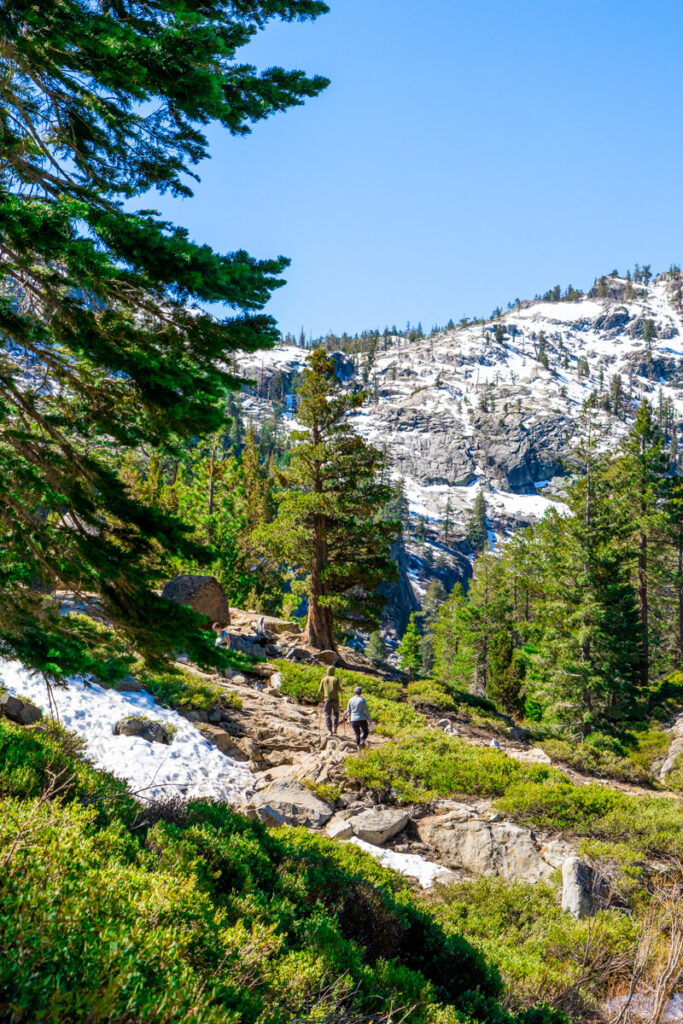
This hike was a bit more challenging than the hike down to Emerald Bay. Due to the higher elevation, there was more snow melt here, making some areas of the hike wet and muddy.
Plus, the path is through the forest (not on a maintained gravel path), so you can expect some rock scrambles, tree roots, and inclines throughout. As a certified klutz, I definitely had to watch my footing here!
It took us about 45 minutes to reach the lake from the parking lot, which included some incredible views of Emerald Bay from above along the way.
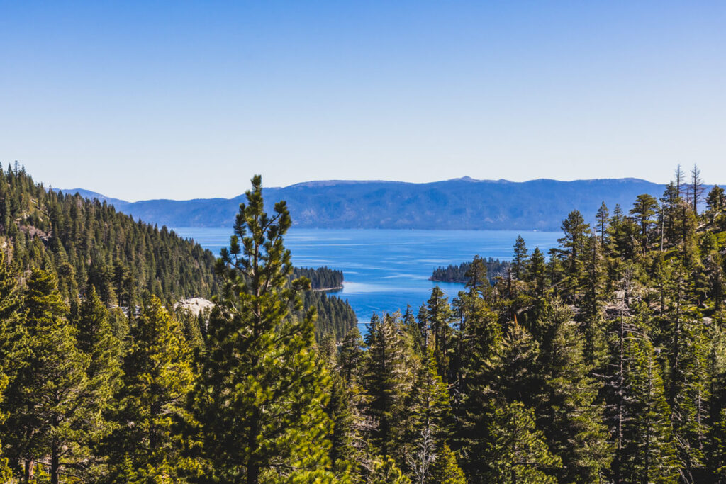
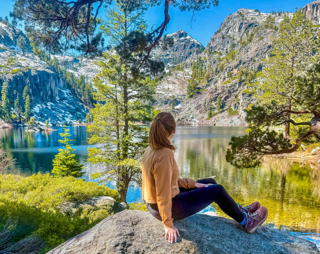
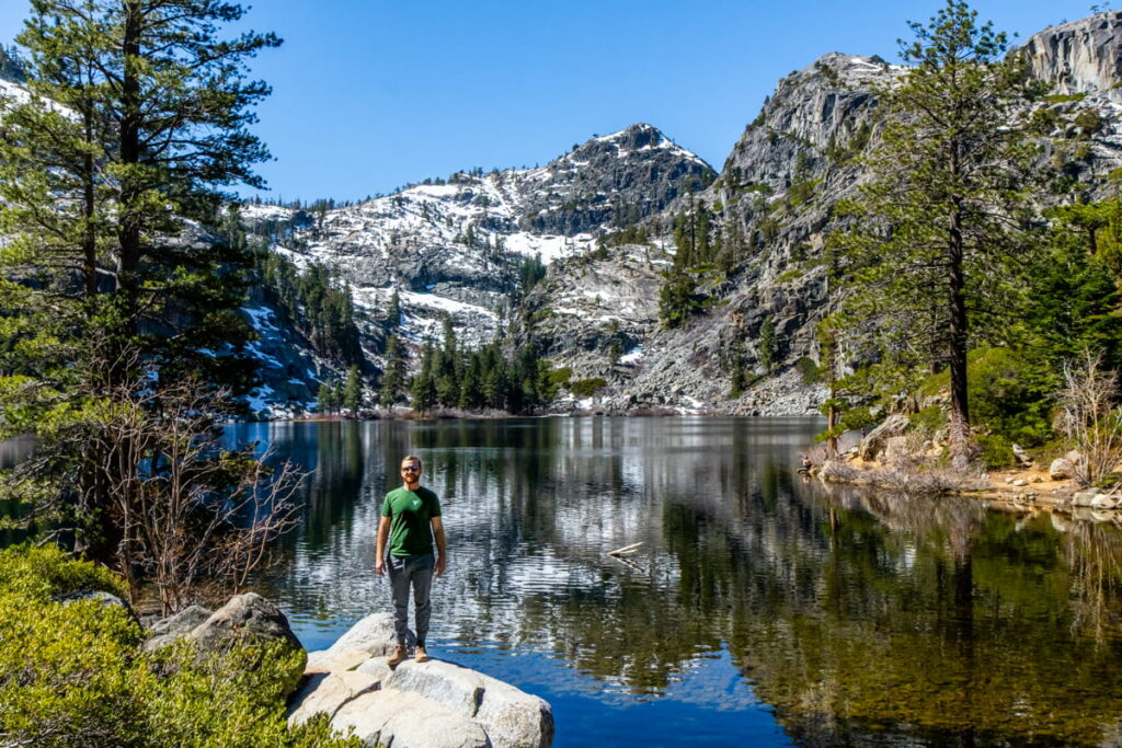
But nothing prepared me for the unbelievable landscape of the lake itself with the snowy Sierra Nevada mountain range behind it. This was my first ever alpine lake, and boy did it deliver!
There are some areas around the lake to sit and take in the views. Some people were even swimming here, but it was way too cold for me!

Lam Watah Nature Trail to Nevada Beach
📍 Location: Lam Watah Trailhead, Kahle Drive & Highway 50, Stateline, NV
🥾 Length: About 2.8 miles round trip, ~100 ft elevation gain
⛰️ Difficulty: Easy
🗺️ All Trails Link
I definitely underestimated the beauty of the Lam Watah Nature Trail based on the pictures I saw online, so I want to make sure you don’t do the same!
We tackled this trail (tackled is a strong word) on our second morning in Tahoe after a delicious breakfast at the historic Red Hut Cafe, which is walking distance from the trailhead.
There is a parking lot and bathrooms marking the start of the trail, which starts along a paved pathway.
(We actually didn’t drive to this hike – we got dropped off by our hotel shuttle. You can read more about car rentals and shuttle options in my guide to Getting Around Lake Tahoe!)
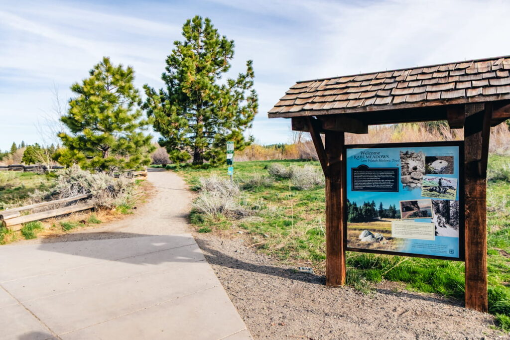
There is also a sign post explaining the history of the area, including its use by the Washoe Native American tribe and how it almost became a casino.
The land was purchased by the US Forest Service in the 1980s, who are restoring it and protect it from modern disturbances!
The first portion of the trail is through Rabe Meadows. You’ll pass a small pond that has a local beaver population (unfortunately we didn’t see any!).
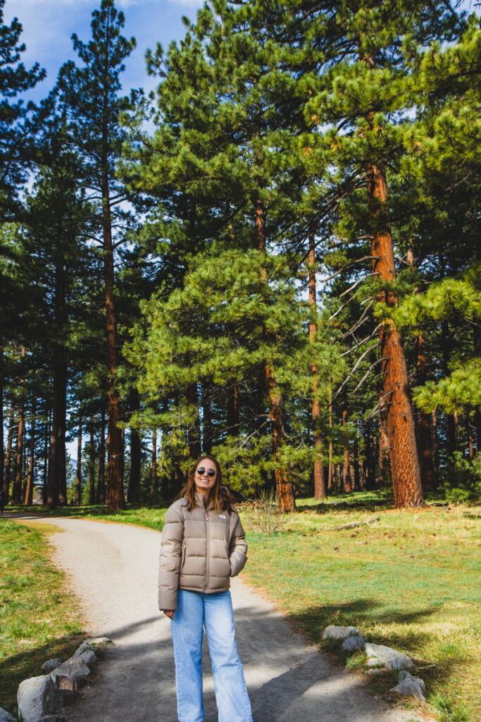
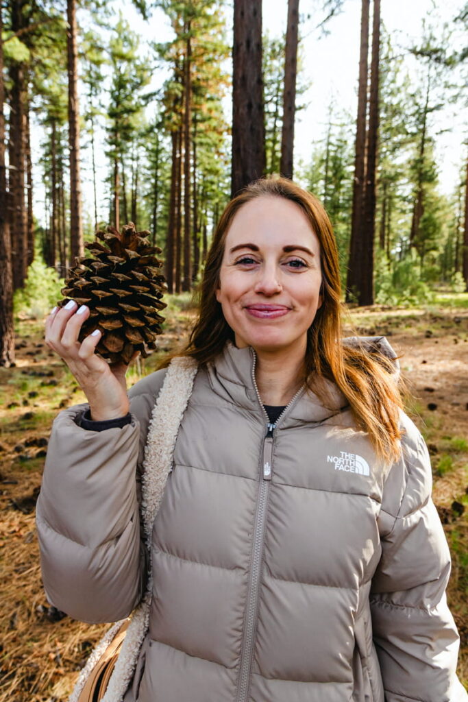
After that, the meadow turns into a sprawling pine forest with some of the biggest pinecones I’d ever seen!!
This is where you’ll enter the Nevada Beach Campground area, with the lake and mountains in the distance.

As we reached the golden beach, I couldn’t believe the combination of so many natural wonders. Only in Lake Tahoe can you see a beach, mountains, and a forest all in one view!
We hung out on the benches at the beach for a little taking in the views.
From here, you can continue along the loop trail for another 1.5 miles. However, we were short on time so decided to go back the way we came!
🌸❄️ Spring Tip: When we visited, there was no snow on the ground anywhere. However, if it is snowy, this is a great spot to snowshoe!
Fallen Leaf Lake
📍 Location: Fallen Leaf Campground, (off Highway 89), South Lake Tahoe
🥾 Length: About 3.5 miles round trip (but you can turn back anytime)
⛰️ Difficulty: Easy
🗺️ All Trails Link
On our last morning in Tahoe, we decided to take advantage of the beautiful weather and go for a morning stroll after breakfast to Fallen Leaf Lake.
This was another hike where I felt like the photos online just didn’t do it justice.
This hike (more of a casual walk, actually) is to Fallen Leaf Lake, which is just outside town in South Lake Tahoe, right past Camp Richardson and before Emerald Bay.
There are several parking spots at Fallen Leaf Campground where you can start the hike, either inside the campground itself or just outside, depending on the time of year. (We were able to park inside the campground on Fallen Leaf Road).
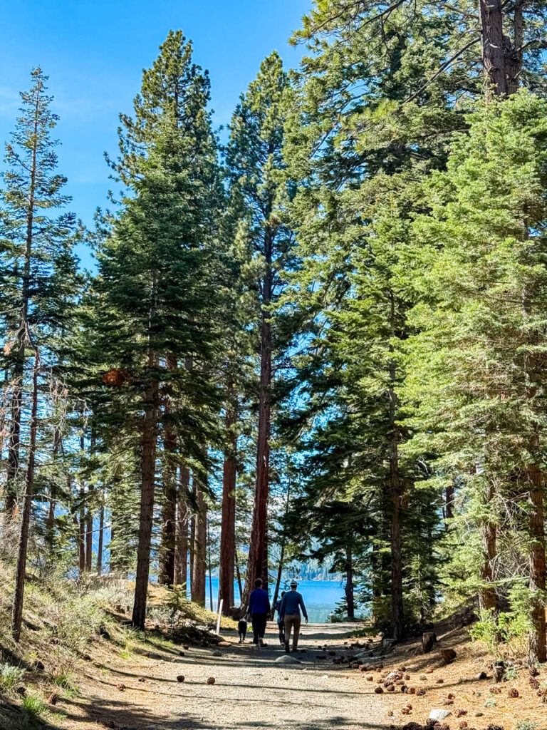
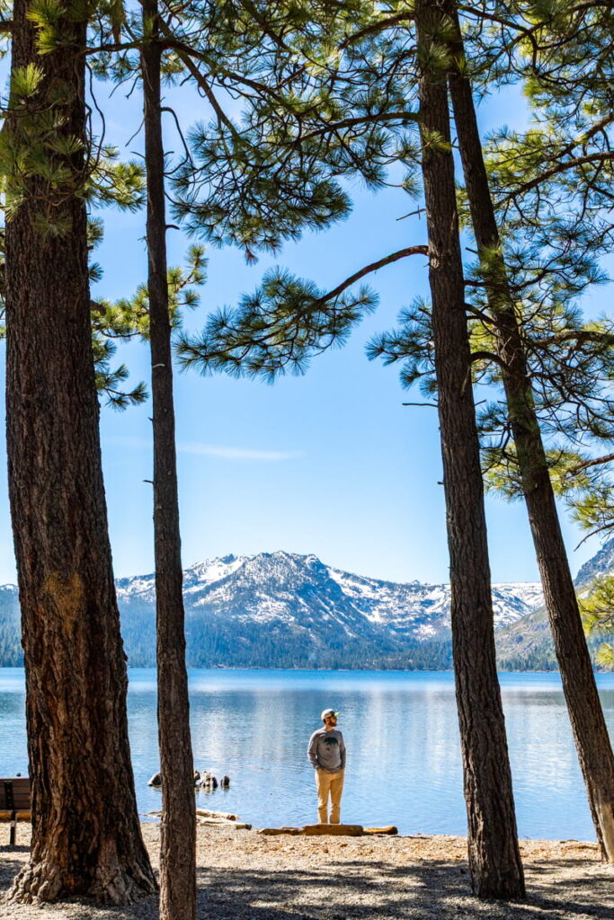
From there, head along the path that runs perpendicular to the lake until you reach it! It’s an easy 10-minute walk along both paved and gravel paths.
I’ll never forget the view through the trees of the sparkling lake beyond here!! And then when we reached the lake itself – wow!
We had a dog with us on our hike, so we mostly just sat in one spot enjoying the vista while he swam and chased sticks in the water.

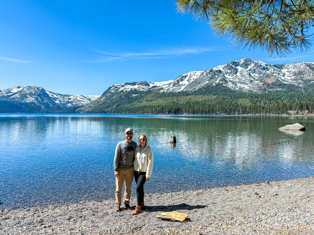
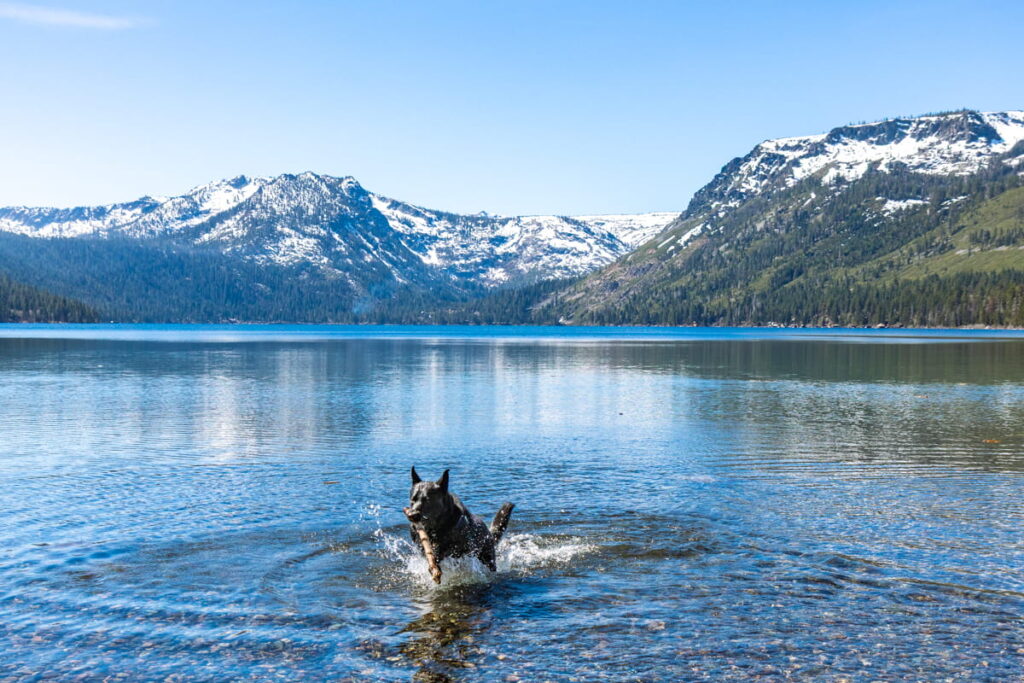
There were lots of benches and logs around the lake, and we also saw plenty of people sunbathing, swimming, and eating lunch.
You can continue along the lake path for about ~1.5 miles if you want to, before turning back and leaving the same way you came!
Cave Rock Overlook
📍Location: 669 Cave Rock Drive (off Highway 50), east side of Tahoe (NV)
🥾 Length: About 0.8 miles round trip, ~120–200 ft elevation gain
⛰️ Difficulty: Easy, with a moderate rocky scramble at the top
🗺️ All Trails Link
We had a few hours to kill before our redeye flight out of Lake Tahoe, so we decided to drive up the east side of the lake and check out the hike to Cave Rock!
I had seen so many pictures of this hike and knew we had to do it, as it offers sprawling views of Lake Tahoe (and the road underneath you!!). It’s also the shortest hike on this list!

The trail is an easy walk along packed gravel/dirt until the very end, where you have the option to scramble up a steep section of rock to the very top. (We saw some young children conquering it easily and some teenagers freaking out, so it really depends on your climbing and fear threshold, lol).
At the top, you get a wide view across the lake to the snow-capped peaks on the west shore, as well as Highway 50 directly under you. This is also one of the best sunset spots in Tahoe!

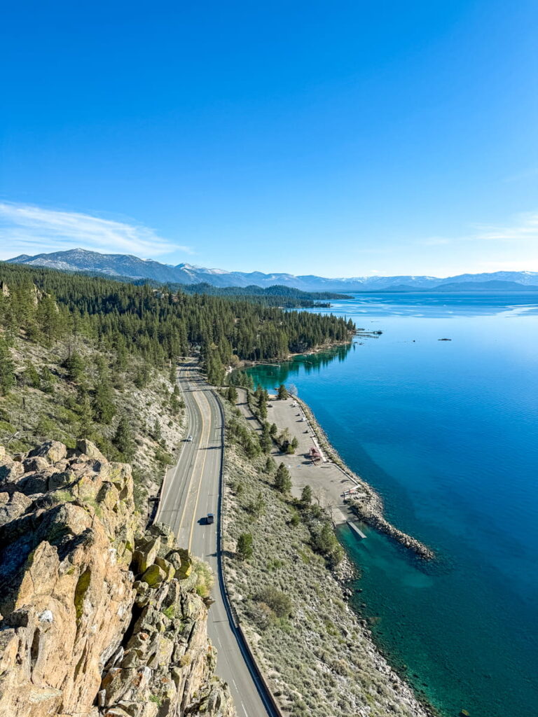
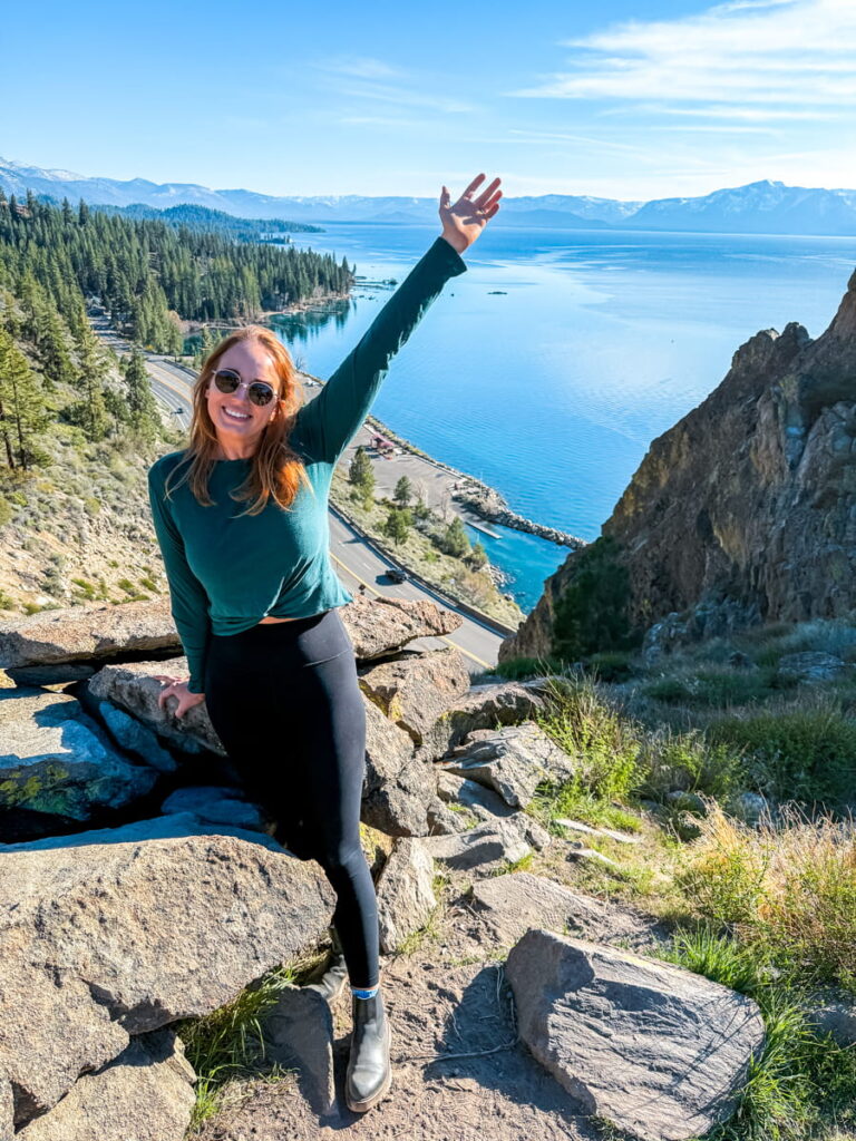
Cave Rock is a sacred site for the Washoe Tribe, who call it De’ek Wadapush, so please stay on the trail and be respectful at the top!
Parking is the hardest part here, since the trailhead lot only fits a handful of cars. However, some cars parked up on the hill after the hairpin turn where there weren’t any “No Parking” signs!
🌸❄️ Spring tip: There was no snow here when we visited in late March. However, I might avoid the rock scramble at the top if it was snowy or icy!
Van Sickle Loop
📍 Location: Van Sickle Bi-State Park, behind Heavenly Village / Stateline
🥾 Length: About 2 miles round trip, ~300 ft elevation gain
⛰️ Difficulty: Moderate
🗺️ All Trails Link
Last on this list is a hike we personally didn’t get to do on our trip, but it’s on my list for next time!
Van Sickle is the only bi-state park in the country, which means you can stand in California and Nevada at the same time!!
The trail climbs through the forest and up the mountain behind Heavenly Village in the Stateline neighborhood, one of the most popular places to stay in South Lake Tahoe.

For portions of the hike, you’ll cross under the Heavenly Gondolas, which can be very cool to see (we saw this trail from above while riding the gondolas, which is how I found out about it!).
Along the way, you’ll also find a small waterfall and lookout points over the lake and South Lake Tahoe!
Most people say this is a very easy hike with incredible views the entire time! It’s also great for sunset.
Final Thoughts
That wraps up my guide on my favorite springs hikes in South Lake Tahoe!
As you can tell, we had no shortage of hikes during our time there and were able to fit a lot in.
However, If you only have time for one area, I recommend spending a morning at Emerald Bay and pair the Vikingsholm hike with the hike to Eagle Lake. That should keep you buys for a few hours!
Or, for something easy, grab breakfast at the Red Hut Cafe and walk the Lam Watah Nature Trail to Nevada Beach.
Either way, enjoy the beauty of Lake Tahoe from the trails!
